Journal — chronological
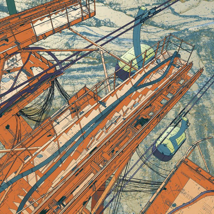
Celestial Station, Elvin Aliyev
Illustration·
May 11, 2020
Celestial Station is a series of images that Elvin Aliyev has created while experimenting with toon shading. His station in orbit is an infrastructure with an aerial (or celestial) transport system. His main source of inspiration is the work of Mœbius and its colorful metaphysical universes.
Read more
New Zealand Map 1921
Cartography·
May 10, 2020
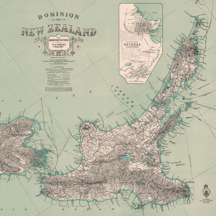
This map shows New Zealand with mountain features in pictorial relief. It was emitted by the New Zealand Lands and Survey Departement and drawn by W. Deverell in 1921.
Read more
Kirov Reservoir

Architectonic·
May 9, 2020
The Kirov Reservoir is a reservoir located in the Talas region, in northern Kyrgyzstan. The main function of this construction is to control the irrigation of the land in the Talas Valley. The reservoir has a capacity of 550 million cubic meters, allowing to irrigate 55,000 ha of land between Kyrgyzstan and Kazakhstan.
Read more
The Formal Generator of Structures, Stanley Tigerman

Architectonic·
May 8, 2020
The Formal Generator of Structures is an exploration of spatial configurations of defined, rectilinear forms, in order to generate volumes and architectonic compositions.
Read more
La Description de l’Égypte: Antiquités, Volume III – Karnak and the Luxor Temple
Exploration·
May 4, 2020
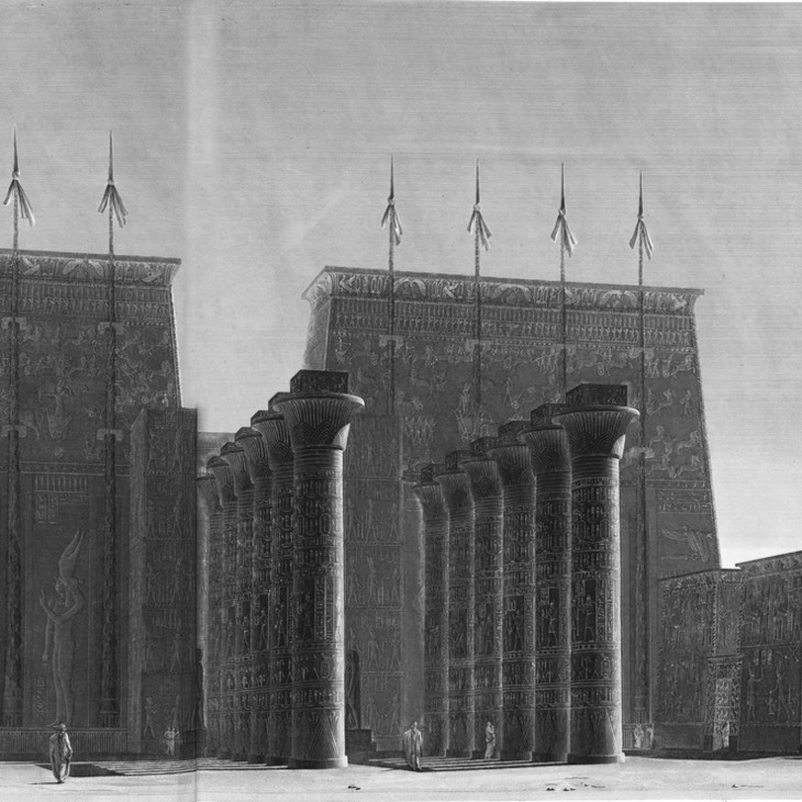
La Description de l’Egypte (The Description of Egypt), is the first encyclopedia devoted exclusively to Egypt. It is a work from Bonaparte’s Egyptian campaign, recounting the discoveries made during this scientific voyage. The third book of plates is La Description de l'Égypte: Antiquités, Volume III. It describes the sites of Luxor and Karnak.
Read more
World Map centered in Buenos Aires

Cartography·
May 2, 2020
This map uses an equidistant azimuthal projection. This type of projection consists in defining a central point and represent each point of the map at a correct proportional distance from the defined center. This map is centered in Buenos Aires.
Read more
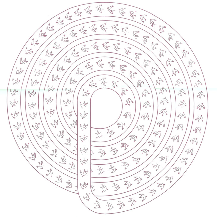
Heliografías, the Architecture of Madness
Representation·
May 1, 2020
León Ferrari was an Argentine conceptual artist whose practice was often ironic, absurd, and above all anti-institutional. During his period of exile in Brazil he began his Heliografías series. These drawings are composed of urban plans, highways, building typologies, furniture, and many identical inhabitants, in order to form an aggregation without much coherence.
Read more
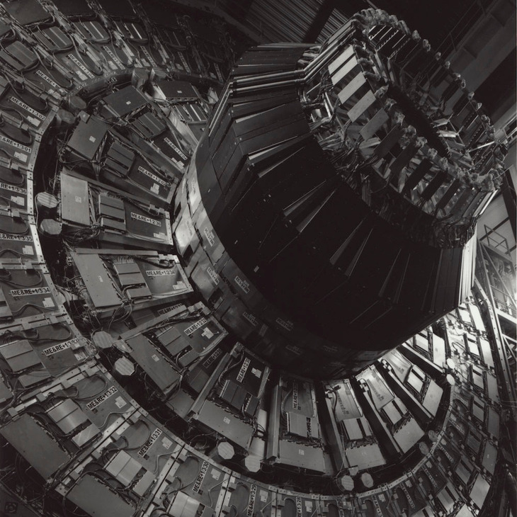
Time machines, Stanley Greenberg
Photography·
Apr 30, 2020
Stanley Greenberg explored the scientific infrastructures of the world for 5 years. In the time machines series he shows the diversity of these physics facilities. All these scientific infrastructures are works facilities but they can also be seen as an architecture of science without equal.
Read more
Gastronomic map of France, 1929

Cartography·
Apr 30, 2020
Alain Bourguignon drew this gastronomic map of France in 1929. This map includes the culinary specialties, productions, agricultural cultures, wines and champagnes, beers, fish, and the gastronomic heritage of all regions from mainland France
Read more
La Description de l’Égypte: Antiquités, Volume II – Thebes

Exploration·
Apr 27, 2020
La Description de l’Egypte (The Description of Egypt), is the first encyclopedia devoted exclusively to Egypt. It is a work from Bonaparte’s Egyptian campaign, recounting the discoveries made during this scientific voyage. The second book of plates is La Description de l'Égypte: Antiquités, Volume II. It is the second of 5 volumes describing ancient Egypt.
Read more