Home / Territory / Moscow Garden Ring, Khotev’s Atlas
Territory — Atlas

Moscow Garden Ring, Khotev’s Atlas

Subject Khotev Atlas
Author A. Khotev
Location Moscow, Russia
Year 1853

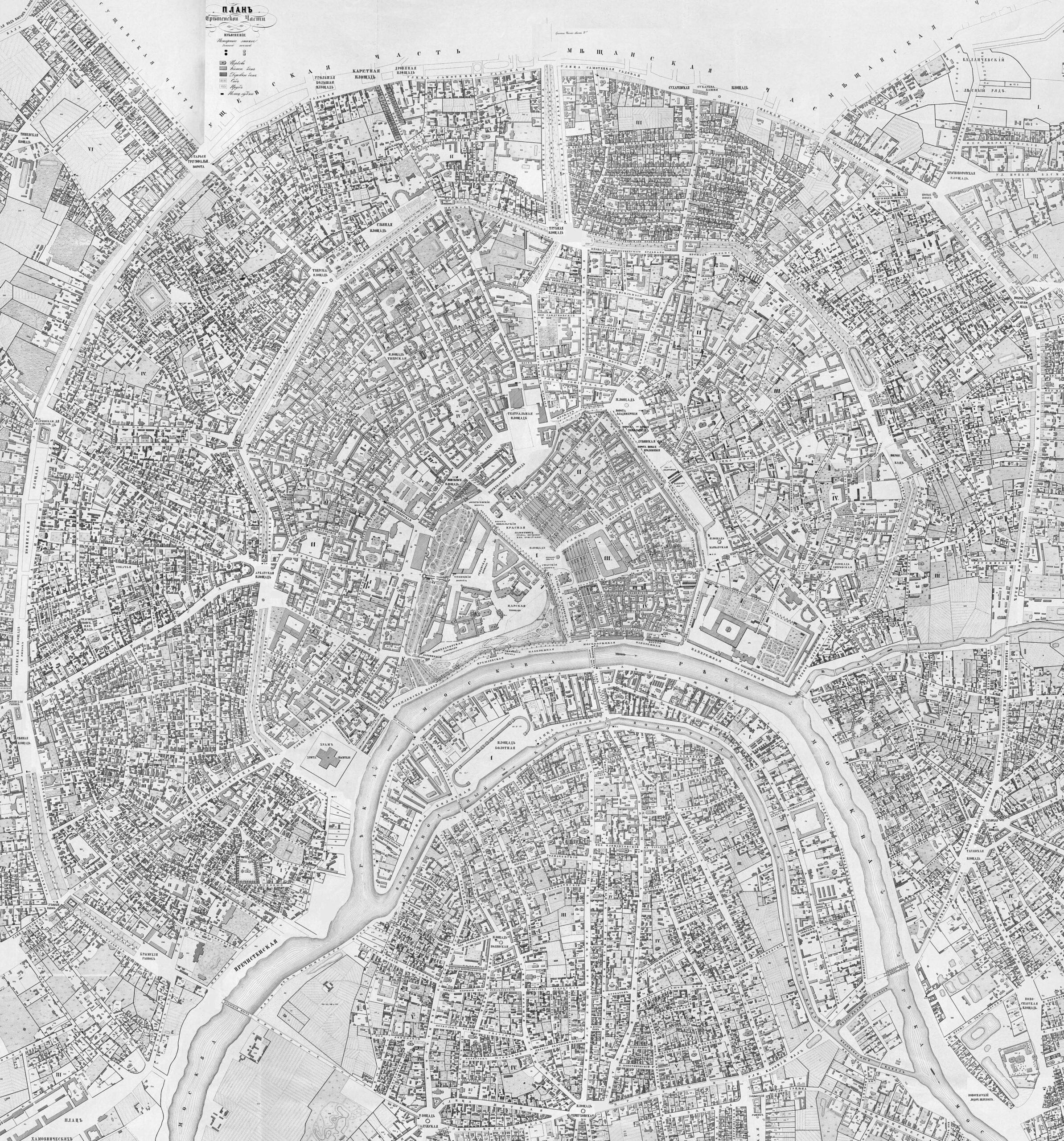
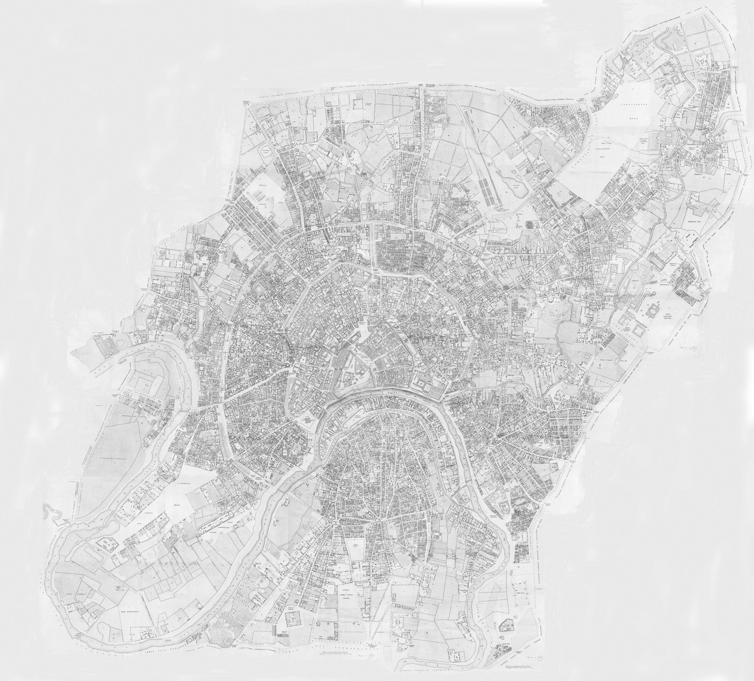
The Khotev Atlas of Moscow is a historical cartographic atlas of the city of Moscow produced in the mid-19th century. The atlas provides a detailed breakdown of the city by district, showing the structure of the buildings and the materials used in their construction. Two successive circular walls (there is now a third) are clearly visible, defining the city’s concentric layout. The outer ring on the map is the Garden Ring. It is a boulevard with a circumference of 16 km, created in the early 1800s on the foundations of the city’s outer wall. It was lined with trees and gardens before being widened around 1930.

TER
Back to the Atlas
Comments

No comments yet -- be the first to share your thoughts.

Leave a comment

Your email address will not be published. Required fields are marked *

Back to top

Begin typing your search term above and press enter to search. Press ESC to cancel.

Back To Top