Map of Vesuvius lava streams
John Auldjo was a Canadian writer, geologist and more generally, traveller. He arrived very young in Europe, in 1822 at the age of 17, to study at Cambridge. 5 years later, he began his Grand Tour of the continent, a traditional trip undertaken by upper-class young men. Firstly, he decided to climb to the top of Mont Blanc, at the age of 22. From this ascent resulted a written report, embellished with magnificent illustrations. Narrative of an Ascent to the Summit of Mont Blanc: On 8 and 9 August 1827 was published in 1828 and was immediately successful.
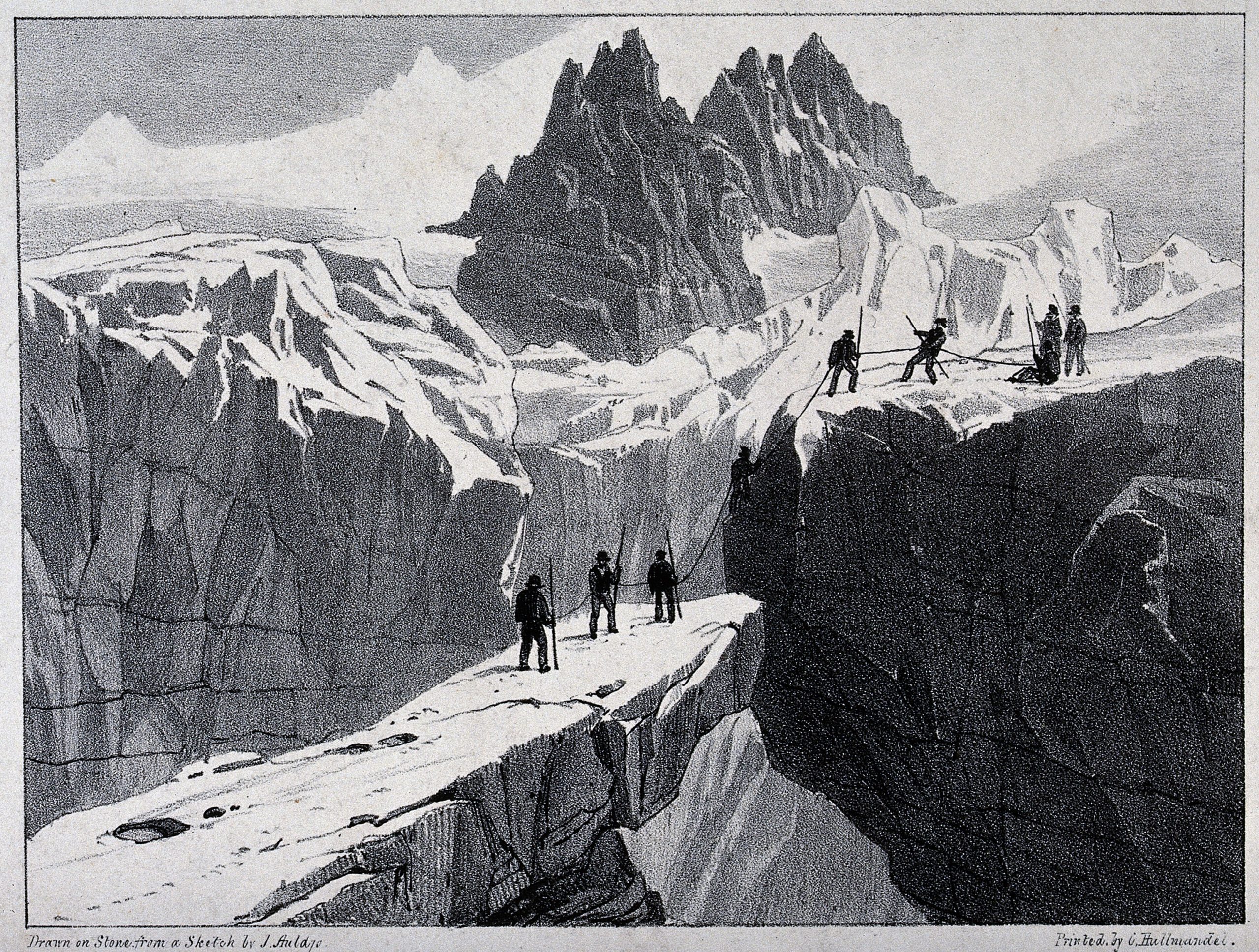
After his decision to stay in Europe, he lived in Naples at a sensitive period concerning volcanic eruptions. Indeed, the Mount Vesuvius experienced no less than 5 eruptions between 1820 and 1840. He personally witnessed the effusive eruption of 1831 and went to scale it. The result is a new written work, Sketches of Vesuvius, with short accounts of its principal eruptions, from the commencement of the Christian era to the present time. It is filled with handmade lithographs from which the following illustration is taken. The book is readable here.
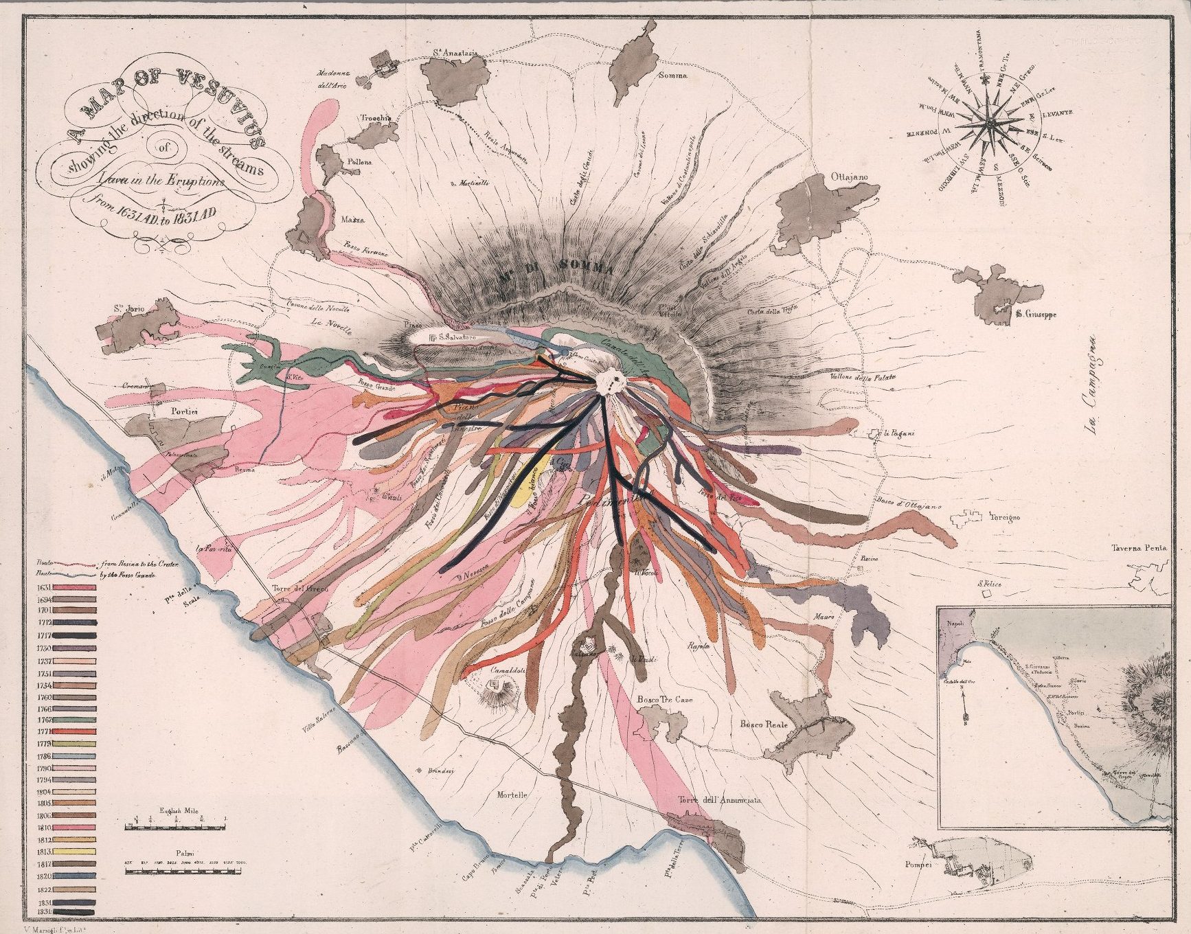
The map relates 200 years of Vesuvius lava flows. Between 1631 and 1831, 28 eruptions were recorded and represented. We observe that most of the Vesuvius lava streams are from the southwest side, up to the sea. Moreover, the map situates Pompeii, away from the lava flows.
The illustration is the cover of History of Information Graphics. This book traces the history of visual data from the Middle Ages to the digital era.


Ces gravures sont magnifiques
Drôle effectivement que Pompéi soit hors coulée de lave: la découverte du site antique à commencé au XvIIIeme pourtant
Soit un siècle avant John Auldjo ! Mais il y avait déjà du tourisme à Naples à l'époque, plus centré sur la mise en scène du volcan cependant.